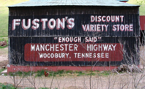
Fuston's Discount Variety Store
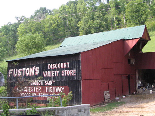
FUSTON'S DISCOUNT
VARIETY STORE
"ENOUGH SAID"
MANCHESTER HIGHWAY
WOODBURY, TENNESSEE
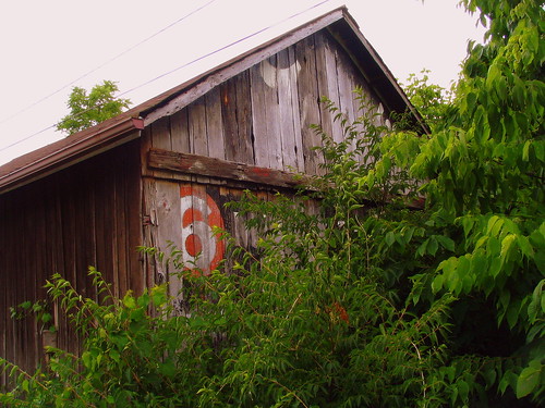
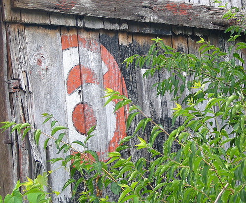
As you can see, the top lines are on a background of black, with the letters in white with a dark red shadow, with the bottom lines white in a dark red round-cornered rectangle.VARIETY STORE
"ENOUGH SAID"
MANCHESTER HIGHWAY
WOODBURY, TENNESSEE
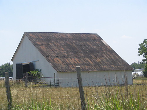
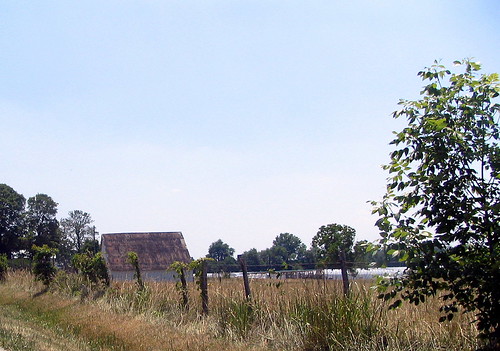
This barn is located on Highway TN145, which is the quiet country road in Cannon County that runs from Woodbury to Auburntown. This painted advertisement barn, with roosters running around is located somewhere between the unincorporated towns of Brysonville and Hardscrabble. It's not far from a pretty neat goat farm.
I'm not sure, but I think I saw another barn for these people on US70 (not 70S) near Dowelltown. It would have been an ad for their second location in Smithville, TN.
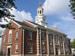
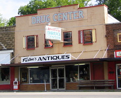
I can't find any store named Fuston's Discount Variety Store, but there is a Fuston's Antiques. Best I can tell, this is a new location or a new retail business from the same owner or family. Fuston's Antiques of Woodbury is located on Main St., which is U.S. Highway 70S, across the street from the Cannon County Courthouse.
Manchester Highway would be highway TN53, as it runs from Woodbury's city square to Manchester, the county seat of Coffee County. However, this highway is not labeled as the Manchester Highway anymore. In town, it is South McCrary St. and further from town it is the Jim Cummings Highway. Jim Cummings was a highly influential state senator and congressman from the late 1920's through the early 70's. The Manchester highway was renamed for him soon after his death in 1979. This likely means the barn was first painted 30 years ago or more.
See it on a map HERE.
Lat & Lon: 35.975329oN & -86.875329oW
posted by BrentKMoore at 8:49 PM
1 comments
![]()
![]()